Torrential Showers Drench South Beach as More Rain Expected Across Miami-Dade, Broward, and the Florida Keys
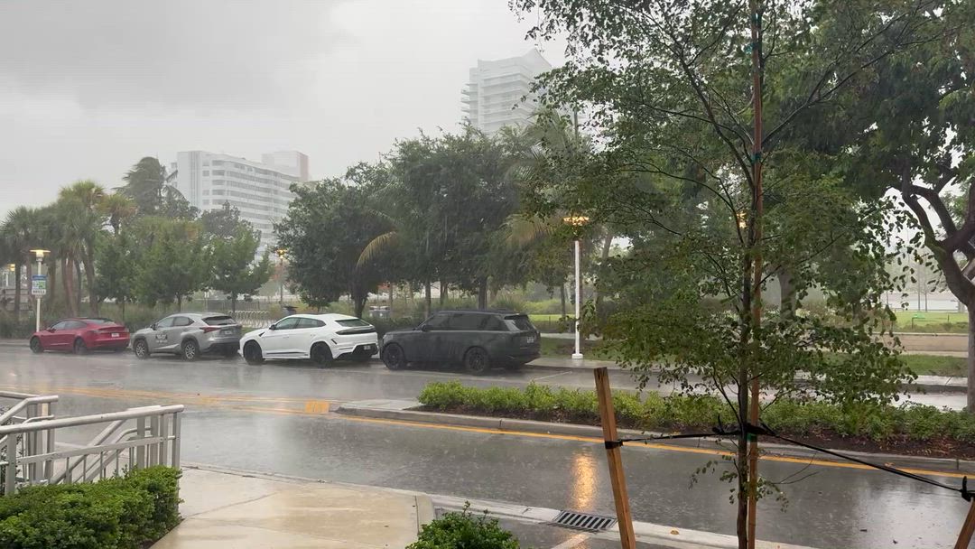
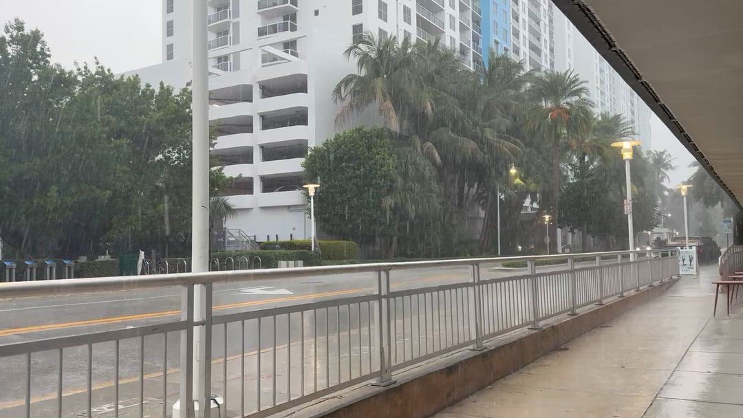
Tourists, locals, and World Cup fans got more than they bargained for in South Beach today as torrential rain showers swept through the area, offering a brief but welcome reprieve from the relentless South Florida heat.
The heavy downpours, which caught many beachgoers off guard, brought much-needed rainfall to the region after a stretch of sweltering temperatures. Streets along Ocean Drive and Collins Avenue saw temporary flooding, though conditions improved as the storms moved through.
Looking Ahead: What's in Store for South Florida
Residents across Miami-Dade, Broward County, and the Florida Keys should expect more of the same in the coming days. Meteorologists are tracking a persistent pattern of afternoon and evening thunderstorms fueled by high humidity and sea breeze convergence — classic South Florida summer weather.
- Miami-Dade: Expect daily storm chances of 70–80%, with heavy downpours and lightning possible each afternoon through the end of the week. High temperatures will hover in the low-to-mid 90s, with heat index values potentially reaching 105°F.
- Broward County: Similar conditions are forecast for Fort Lauderdale and surrounding areas, with isolated storms capable of producing gusty winds and brief heavy rainfall. Motorists should use caution on I-95 and the Turnpike during peak storm hours between 2 p.m. and 7 p.m.
- Florida Keys: A slightly drier pattern is expected in the Upper Keys, though Monroe County residents from Key Largo to Key West should still prepare for scattered showers and rough seas. Boaters are advised to monitor marine forecasts closely, as afternoon storms can develop quickly over open water.
Residents are encouraged to stay weather-aware and have a plan in place during afternoon hours. As always in South Florida, if you can hear thunder, you're close enough to be struck by lightning — seek shelter immediately.