Major Winter Storm Brings Dangerous Winds and Heavy Snow to Plains and Northeast
A powerful and deadly winter storm is sweeping eastward, bringing frigid temperatures to Florida while the Northeast braces for significant snowfall and hazardous conditions.
Millions of residents across the High Plains from Montana to Kansas will experience dangerous wind gusts between 60 and 80 mph throughout the day and into the evening. These extreme winds pose serious threats, including downed trees and power lines, widespread power outages, reduced visibility from blowing dust, and hazardous travel conditions for high-profile vehicles that could be overturned.
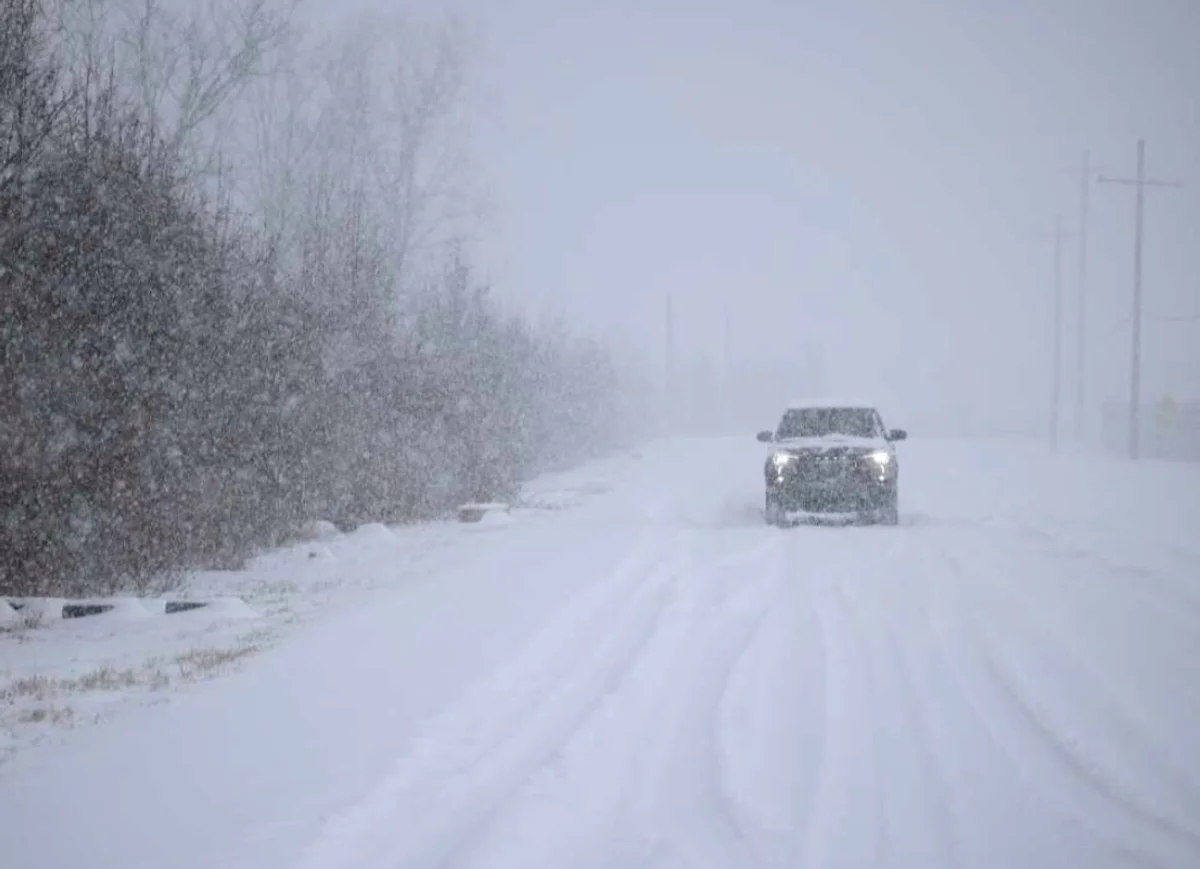
On the eastern edge of the strongest winds, blowing snow is expected—either from previously fallen snow being lifted from the ground or from new snowfall associated with the advancing storm system.
A winter weather advisory has been issued from North Dakota to Iowa, where wind gusts between 40 and 50 mph are expected along with snow accumulations up to one inch.
Light snow is forecast to fall across Wisconsin and Michigan on Friday, continuing into Michigan and Ohio by Friday afternoon. By evening, snow will spread from West Virginia and Ohio to western Pennsylvania and western New York. On Saturday, snow is possible across much of the Northeast.
The I-95 corridor may see snow Saturday morning and early afternoon, or a rain and snow mix, from Washington, D.C., to Maine. Expected accumulations include a dusting in Washington, D.C., around one inch in Philadelphia, and up to two inches in New York City and Boston.
Farther inland, parts of upstate New York, western Connecticut, western Massachusetts, and areas north of I-90 may see three to six inches of snow accumulation.
Snow is expected to move out of the region by late afternoon Saturday. Residents are urged to prepare for hazardous travel conditions and potential power outages.